NY/NJ Trail Conference Shawangunk Trail Map
Shawangunk Trails Map - 2018 - 10th edition
Three-map set, map #s 104, 105 & 106A/106B
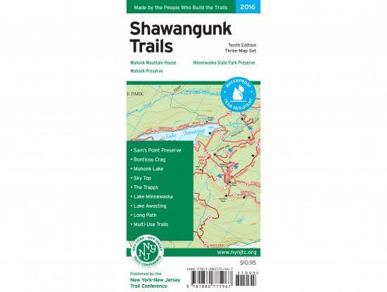
Our Shawangunk Trails Map is a three-map set featuring trails in the northern Shawangunks region of New York. The maps are printed in vibrant color on waterproof and tear-resistant Tyvek, and are a must-have for exploring the special features of the Shawangunk region, including breathtaking cliffs, pitch pines growing out of bedrock, and spectacular views. The 2016 update includes an entirely new map showing the Long Path/Shawangunk Ridge Trail along a scenic stretch of the Shawangunk Mountains from Route 52 to Wurtsboro, as well as enhanced contour elevation lines, new parkland parcels, recent trail relocations, and a new inset map of the Lake Minnewaska area.
Map features include:
- More than 200 miles of maintained trails and carriage roads, many of which are open to bikes and horses, in the northern Shawangunks of Ulster County
- Parklands including Minnewaska State Park Preserve, Mohonk Preserve, Shawangunk Ridge State Forest, and the Mohonk Mountain House property
- Sections of the Long Path and Shawangunk Ridge Trail
- 20-foot elevation contours
- 1:30,000 scale (1 inch = 0.47 mile)
- Convenient map sizes to carry and use on the trail
- New map featuring the route of the Long Path/Shawangunk Ridge Trail between Wurtsboro and Route 52
- Enlarged large-scale map of complex trail network in the area of Mohonk Mountain House
- Parkland boundaries
- Unmaintained trails and woods roads
- Viewpoints, waterfalls, mines, and other points of interest
- Parking areas
- Public transportation
- Park contact information, history, and regulations
- UTM coordinate grid
More Images
NY/NJ Trail Conference Shawangunk Trail Map
Shawangunk Trails Map - 2018 - 10th edition
Three-map set, map #s 104, 105 & 106A/106B
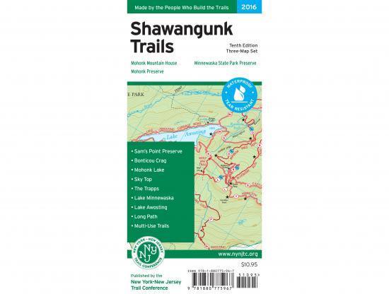
Our Shawangunk Trails Map is a three-map set featuring trails in the northern Shawangunks region of New York. The maps are printed in vibrant color on waterproof and tear-resistant Tyvek, and are a must-have for exploring the special features of the Shawangunk region, including breathtaking cliffs, pitch pines growing out of bedrock, and spectacular views. The 2016 update includes an entirely new map showing the Long Path/Shawangunk Ridge Trail along a scenic stretch of the Shawangunk Mountains from Route 52 to Wurtsboro, as well as enhanced contour elevation lines, new parkland parcels, recent trail relocations, and a new inset map of the Lake Minnewaska area.
Map features include:
- More than 200 miles of maintained trails and carriage roads, many of which are open to bikes and horses, in the northern Shawangunks of Ulster County
- Parklands including Minnewaska State Park Preserve, Mohonk Preserve, Shawangunk Ridge State Forest, and the Mohonk Mountain House property
- Sections of the Long Path and Shawangunk Ridge Trail
- 20-foot elevation contours
- 1:30,000 scale (1 inch = 0.47 mile)
- Convenient map sizes to carry and use on the trail
- New map featuring the route of the Long Path/Shawangunk Ridge Trail between Wurtsboro and Route 52
- Enlarged large-scale map of complex trail network in the area of Mohonk Mountain House
- Parkland boundaries
- Unmaintained trails and woods roads
- Viewpoints, waterfalls, mines, and other points of interest
- Parking areas
- Public transportation
- Park contact information, history, and regulations
- UTM coordinate grid
Product Information
Product Information
Shipping & Returns
Shipping & Returns
Description
Shawangunk Trails Map - 2018 - 10th edition
Three-map set, map #s 104, 105 & 106A/106B
Our Shawangunk Trails Map is a three-map set featuring trails in the northern Shawangunks region of New York. The maps are printed in vibrant color on waterproof and tear-resistant Tyvek, and are a must-have for exploring the special features of the Shawangunk region, including breathtaking cliffs, pitch pines growing out of bedrock, and spectacular views. The 2016 update includes an entirely new map showing the Long Path/Shawangunk Ridge Trail along a scenic stretch of the Shawangunk Mountains from Route 52 to Wurtsboro, as well as enhanced contour elevation lines, new parkland parcels, recent trail relocations, and a new inset map of the Lake Minnewaska area.
Map features include:
- More than 200 miles of maintained trails and carriage roads, many of which are open to bikes and horses, in the northern Shawangunks of Ulster County
- Parklands including Minnewaska State Park Preserve, Mohonk Preserve, Shawangunk Ridge State Forest, and the Mohonk Mountain House property
- Sections of the Long Path and Shawangunk Ridge Trail
- 20-foot elevation contours
- 1:30,000 scale (1 inch = 0.47 mile)
- Convenient map sizes to carry and use on the trail
- New map featuring the route of the Long Path/Shawangunk Ridge Trail between Wurtsboro and Route 52
- Enlarged large-scale map of complex trail network in the area of Mohonk Mountain House
- Parkland boundaries
- Unmaintained trails and woods roads
- Viewpoints, waterfalls, mines, and other points of interest
- Parking areas
- Public transportation
- Park contact information, history, and regulations
- UTM coordinate grid