Paddlesports Press St Regis Canoe Wilderness Map
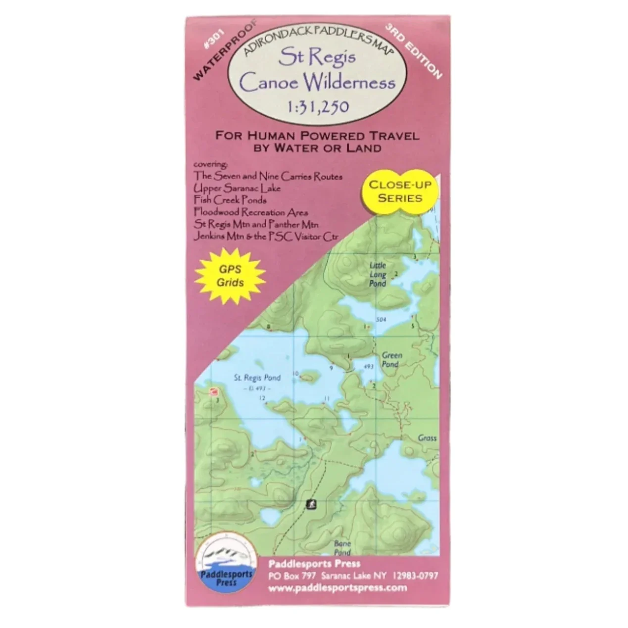
Part of the Adirondack Paddler's Map series, waterproof and tear-resistant material. Full color, shaded relief and topographic map at a 1:31,250 scale (Approx 1" to 1/2 mile). 18X24" format folded to approximately 4x9".
Shows private land, state land, and wilderness designated lands, in different colors. Mountains shown in shaded relief in addition to topographic lines---map is metric. Up to date portages, trails and numbered campsites. UTM Grids.
Covers these areas:
- St Regis Wilderness
- St. Regis Lakes
- Paul Smiths Area
- Upper Saranac Lake
- Floodwood/Fish Creek Area
- Raquette River from Stony Creek to Tupper Lake
Paddlesports Press St Regis Canoe Wilderness Map
Part of the Adirondack Paddler's Map series, waterproof and tear-resistant material. Full color, shaded relief and topographic map at a 1:31,250 scale (Approx 1" to 1/2 mile). 18X24" format folded to approximately 4x9".
Shows private land, state land, and wilderness designated lands, in different colors. Mountains shown in shaded relief in addition to topographic lines---map is metric. Up to date portages, trails and numbered campsites. UTM Grids.
Covers these areas:
- St Regis Wilderness
- St. Regis Lakes
- Paul Smiths Area
- Upper Saranac Lake
- Floodwood/Fish Creek Area
- Raquette River from Stony Creek to Tupper Lake
Product Information
Product Information
Shipping & Returns
Shipping & Returns
Description
Part of the Adirondack Paddler's Map series, waterproof and tear-resistant material. Full color, shaded relief and topographic map at a 1:31,250 scale (Approx 1" to 1/2 mile). 18X24" format folded to approximately 4x9".
Shows private land, state land, and wilderness designated lands, in different colors. Mountains shown in shaded relief in addition to topographic lines---map is metric. Up to date portages, trails and numbered campsites. UTM Grids.
Covers these areas:
- St Regis Wilderness
- St. Regis Lakes
- Paul Smiths Area
- Upper Saranac Lake
- Floodwood/Fish Creek Area
- Raquette River from Stony Creek to Tupper Lake